


20180320-Les_Damps_COOL

doudet
User
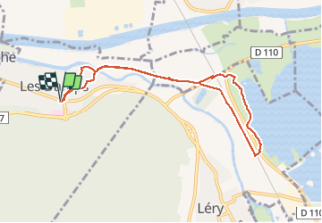

Length
8 km

Max alt
36 m

Uphill gradient
52 m
Km-Effort
8.7 km

Min alt
2 m

Downhill gradient
53 m
Boucle
Yes
Creation date :
2018-08-13 07:00:27.708
Updated on :
2018-08-13 07:00:27.708

FREE GPS app for hiking
 SityTrail
IGN / Geographical institutes
SityTrail Plus
The world is yours!
About
Trail of 8 km to be discovered at Normandy, Eure, Les Damps. This trail is proposed by doudet.
Positioning
Country:
France
Region :
Normandy
Department/Province :
Eure
Municipality :
Les Damps
Location:
Unknown
Start:(Dec)
Start:(UTM)
367247 ; 5462329 (31U) N.
Comments